About WelcomeTravelerIndia.com
India is a land of extraordinary contrasts, where ancient traditions meet modern innovation, and natural wonders coexist with vibrant cities.
India is a land of extraordinary contrasts, where ancient traditions meet modern innovation, and natural wonders coexist with vibrant cities.
Pithoragarh, often dubbed the "Mini Kashmir" of Uttarakhand, is a picturesque town nestled in the easternmost part of the Kumaon region. Renowned for its breathtaking landscapes, rich cultural heritage, and strategic significance, Pithoragarh serves as a gateway to several Himalayan expeditions.
Geography and Location
Climate
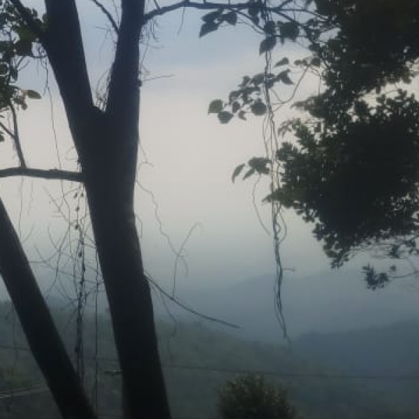
Pithoragarh experiences a subtropical highland climate, characterized by mild summers, cold winters, and a monsoon season.
Historical Background
Demographics
Economy and Industry
Cultural and Tourist Attractions
Connectivity
Pithoragarh's unique blend of natural beauty, historical significance, and cultural richness makes it a captivating destination in the Indian Himalayas.