Quick Facts
Barpeta - A Detailed Overview
General Information
- Location: Western Assam, about 90 km northwest of Guwahati.
- Coordinates: 26.32°N latitude, 91.00°E longitude.
- State: Assam
- Region: Lower Assam
- District: Barpeta District
- Area: Around 3,245 square kilometers.
- Elevation: Roughly 35 meters above sea level.
- River: Lies close to the Beki River, a tributary of the mighty Brahmaputra.
Demographics
- Population (District, as per 2011 Census): About 1.69 million.
- Urban Population (Barpeta town): Around 42,000 people.
- Major Languages: Assamese (official), Bengali, Bodo, Hindi.
- Religions:
- Hinduism and Islam are the two major religions.
- Hindu majority in town; mixed demographics in rural areas.
History
- Ancient Times:
- Once part of the Kamarupa Kingdom (ancient Assam).
- Religious Renaissance:
- In the 15th-16th century, became a major center of the Vaishnavite movement led by Srimanta Sankardev and his disciple Madhabdev.
- Cultural Identity:
- Known as "Satra Nagari" (City of Monasteries) because of its many Satras (Vaishnavite monasteries).
- British Era:
- Important administrative center under colonial rule.
Economy
- Agriculture:
- Main economic activity — rice, jute, mustard seeds, and vegetables.
- Fishing:
- Significant due to proximity to rivers and wetlands.
- Small Industries:
- Handloom weaving (especially traditional Assamese cloth like gamochas), handicrafts.
- Trade and Commerce:
- Barpeta Town acts as a local trade hub for agricultural and artisan products.
Transport
- Railways:
- Barpeta Road Railway Station — major station connecting to Guwahati, New Bongaigaon, and northeastern cities.
- Roadways:
- Well-connected by National Highway NH-27.
- Frequent buses, shared taxis, and private vehicles available.
- Airways:
- Nearest airport: Lokpriya Gopinath Bordoloi International Airport (Guwahati), about 90 km away.
Tourism and Attractions
- Barpeta Satra:
- Founded by Madhabdev; a serene and holy Vaishnavite monastery complex.
- Patbaushi Satra:
- Another important historical Satra where Madhabdev spent his last days.
- Barpeta Road:
- Fast-developing suburban area with markets, eateries, and transport hubs.
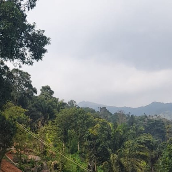
- Manas National Park:
- UNESCO World Heritage Site, just 40 km from Barpeta Road; famous for wildlife safaris, tigers, elephants, golden langurs, and lush scenery.
- Beki River Bank:
- Popular for picnics and nature walks.
- Dargah of Syed Fakhruddin:
- A place of pilgrimage for Muslims.
Education
- Major institutions:
- Barpeta College
- Barpeta Girls' College
- Barpeta Law College
- Several government and private schools.
- Newer educational initiatives aim to improve literacy and skill development.
Climate
- Type: Humid Subtropical (Cwa - Köppen classification).
- Summer: Warm and humid (March–June).
- Monsoon: Heavy rains (June–September).
- Winter: Pleasant and dry (November–February).
Culture and Festivals
- Bihu Festivals:
- Celebrated with traditional dance, music, and feasts.
- Raas Mahotsav:
- A major festival at Barpeta Satra celebrating Krishna’s life through dance dramas and tableaux.
- Eid Celebrations:
- In Muslim-dominated rural pockets.
- Handloom and Art:
- Barpeta is known for colorful gamochas, traditional dance costumes, and artisan items.
Recent Developments
- Growth of Barpeta Road as an educational and commercial hub.
- Improved road connectivity under government infrastructure programs.
- Tourism push around Manas National Park leading to more eco-resorts and travel facilities.
Barpeta in a Nutshell
"A spiritual land blessed by rivers and monasteries, where the soulful notes of khol and taal fill the air, where nature’s raw beauty at Manas meets the deep faith of Satras — Barpeta is not just a place, it is a living heritage."