facts about Itanagar
General Information
- City: Itanagar
- State: Arunachal Pradesh
- Country: India
- Status: Capital city of Arunachal Pradesh
- Established: Became the capital in 1974
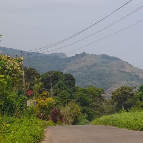
Geography
- Location: Foothills of the Himalayas
- Elevation: Around 320 meters (1,050 ft) above sea level
- Rivers nearby: Itanagar lies near the Siang River and Ganga Lake (Geykar Sinyi)
- Climate: Subtropical highland climate – hot summers, heavy monsoon rains, and mild winters
Population & Language
- Population: Approx. 59,000+ (as per 2011 Census; now likely over 70,000)
- Languages:
- Official: English
- Widely spoken: Hindi, Nyishi (tribal language), Assamese, Bengali
- Other local languages: Adi, Apatani, and more
Administration & Importance
- Capital Functions: Hosts the Arunachal Pradesh Legislative Assembly, secretariat, and various administrative offices
- Twin City: Naharlagun (around 10 km away) functions as its urban extension
Tourist Attractions
- Ita Fort – 14th-15th century fort, name Itanagar derived from this
- Ganga Lake (Geykar Sinyi) – Beautiful natural lake surrounded by forests
- Buddha Temple (Gompa) – Peaceful Tibetan Buddhist monastery with scenic views
- Jawaharlal Nehru State Museum – Showcases tribal culture and heritage
- Zoological Park & Indira Gandhi Park
Connectivity
- By Road: Connected via NH-415
- By Rail: Naharlagun Railway Station (closest major railhead)
- By Air:
- Donyi Polo Airport, Hollongi (nearest airport – 15 km from Itanagar)
- Regular flights to Guwahati, Kolkata, and other cities
Culture & People
- Home to various tribes, primarily Nyishi, Adi, Apatani, Tagin, and Galo
- Rich in tribal traditions, colorful festivals, and handicrafts
- Major Festivals: Losar, Nyokum, Dree, and Solung