Quick Facts
Kupwara – Detailed Facts
Location:
- Kupwara is a town and district located in the Union Territory of Jammu and Kashmir, India.
- It is situated northwest of Srinagar (about 90 kilometers away) and close to the Line of Control (LoC) with Pakistan.
Geographical Features:
- Elevation: Around 1,577 meters (5,174 feet) above sea level.
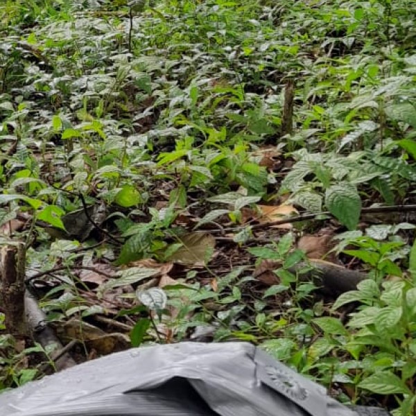
- Kupwara district is known for its beautiful valleys, dense forests, and scenic mountains.
- Major rivers: Puhru River and Kahmil River flow through Kupwara.
- It borders Bandipora, Baramulla, and Pakistan-administered Gilgit-Baltistan.
Historical Background:
- Earlier, Kupwara was part of the Baramulla district until it was carved out as a separate district in 1979.
- Historically, Kupwara and surrounding areas were thick forests and later developed into townships.
Economy:
- Agriculture and horticulture are the main economic activities.
- Crops: Rice, maize, and apples are major products.
- Handicrafts, particularly woolen shawls and carpets, are important cottage industries.
- In recent years, tourism has started to grow slowly due to its natural beauty.
Population:
- As per the 2011 Census, the Kupwara district had a population of around 870,354.
- Kupwara town itself has a population of around 21,771.
- The literacy rate is around 64.5%, with male literacy higher than female literacy.
Climate:
- Kupwara experiences a temperate climate.
- Summers are mild and pleasant; winters are cold with heavy snowfall.
- Snowfall typically starts from December and lasts until March.
Languages Spoken:
- Kashmiri, Pahari, Urdu, and Gojri are widely spoken.
- Urdu is commonly used for official communication.
Transport:
- Road connectivity: Kupwara is connected by road to Srinagar and other parts of Kashmir via the Sopore–Kupwara road and Baramulla–Kupwara road.
- Nearest railway station: Sopore or Baramulla railway stations.
- Nearest airport: Srinagar International Airport (around 95 km away).
- Kupwara does not have its own airport or railway station as of now.
Tourism:
- Lolab Valley: Known as the "Land of Love and Beauty," famous for its meadows and pine forests.
- Bangus Valley: An unexplored high-altitude valley rich with green pastures, wildlife, and alpine forests.
- Keran Sector: A picturesque village along the Kishanganga River, now opened for tourism after years of military restrictions.
- Karnah Valley and Teetwal: Remote areas near the LoC with historic importance and breathtaking scenery.
- Machil and Tangdhar: Remote valleys, important for border tourism.
Wildlife:
- Kupwara is home to animals like the Himalayan brown bear, snow leopard, musk deer, and hangul (Kashmiri stag).
- Dachigam National Park is not far from Kupwara district.
Culture and Society:
- Predominantly Muslim population (mainly Sunni Muslims).
- Rich traditions of folk songs, folk dances (like Rouf dance), and Kashmiri festivals.
- Kupwara society remains largely traditional, with a strong rural character.
Education:
- Several government and private schools operate in Kupwara.
- Important institutions include Govt. Degree College Kupwara, Govt. Degree College Handwara, and many higher secondary schools.
- In recent years, education has improved, but higher education facilities still need strengthening.
Security and Strategic Importance:
- Kupwara is strategically important because of its proximity to the LoC.
- It has several army camps and is a crucial location for border security operations.
- Kupwara has witnessed incidents related to cross-border militancy but is gradually returning to peace and development.
Recent Developments:
- The government has initiated various tourism projects to develop places like Keran, Teetwal, and Bangus Valley.
- Kupwara is being promoted as a new tourist destination in Kashmir.
- Better roads and hospitality facilities are being developed to support tourism and local economy growth.
Quick Summary Table:
|
Feature
|
Detail
|
|
Founded
|
Separate district since 1979
|
|
Elevation
|
~1,577 meters
|
|
Main Languages
|
Kashmiri, Urdu, Pahari, Gojri
|
|
Key Sectors
|
Agriculture, Horticulture, Handicrafts, Border Trade
|
|
Tourism Highlights
|
Lolab Valley, Bangus Valley, Keran, Teetwal
|
|
Major Rivers
|
Puhru, Kahmil
|
|
Connectivity
|
By road (NH 701); nearest airport in Srinagar
|
