Quick Facts
Location & Geography
- Coordinates: 16.7050°N latitude, 74.2433°E longitude
- Elevation: Approximately 216 meters (709 feet) above sea level
- Area: Around 98 km²
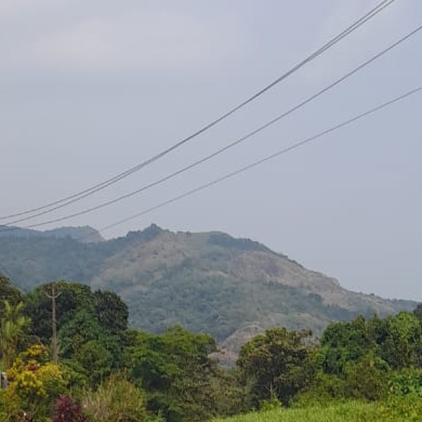
- Geographical Features: Situated in the northwestern part of Maharashtra, Jalgaon lies just south of the Tapti River. The region is characterized by its upland terrain, with the Satpura Range to the north and the Ajanta Range to the south, creating a diverse topography . (Jalgaon | City & Location - Britannica)
Climate
- Type: Hot semi-arid (Köppen BSh)
- Seasons:
- Summer: March to mid-June; temperatures can soar up to 45°C
- Monsoon: Mid-June to September; average annual rainfall is approximately 690 mm
- Winter: October to February; temperatures range between 10°C to 25°C
- Air Quality: Ranked 19th in the "National Clean Air City" under Category 2 (3-10L Population cities) in India . (Jalgaon)
Demographics
- Population (2011 Census): Approximately 460,228
- Population (2025 Estimate): Around 629,000
- Literacy Rate: 77.22%
- Languages Spoken: Marathi (official), Khandeshi (Ahirani), Hindi, and English
- Religious Composition (2011):
Administration
- Governing Body: Jalgaon Municipal Corporation
- Mayor: Jayshree Mahajan (Shiv Sena)
- District Collector: Ayush Prasad
- Guardian Minister: Gulab Raghunath Patil (Jalgaon, Jalgaon district)
Jalgaon District: A Broader Perspective
General Information
- Established: 1960 (formerly part of East Khandesh)
- Area: 11,765 km²
- Population (2011 Census): 4,229,917
- Urban Population: 31.74%
- Literacy Rate: 79.72%
- Sex Ratio: 925 females per 1000 males
- Administrative Divisions: 15 talukas including Jalgaon, Bhusawal, Chalisgaon, and Raver (Jalgaon - Department of Tourism Maharashtra, Jalgaon district)
Geography & Natural Features
- Boundaries: Borders Madhya Pradesh to the north; neighboring districts include Buldhana, Jalna, Chhatrapati Sambhajinagar, Nashik, and Dhule
- Rivers: The Tapi River flows through the district, along with its tributaries like the Purna and Girna
- Soil: Rich in volcanic black soil, conducive for agriculture (Jalgaon district, District Jalgaon, Government of Maharashtra | India - Jalgaon)
Economy & Industry
Agriculture
Industrial Sector
- Key Industries: Textiles, edible oils, and gold jewelry
- Notable Enterprises: Jain Irrigation Systems, a leader in micro-irrigation systems, is headquartered here
Education & Institutions
Higher Education
- Kavayatri Bahinabai Chaudhari North Maharashtra University: Established in 1989, it serves as the primary higher education institution in the region
- Other Colleges: Mooljee Jetha College, Nutan Maratha College, and Government Polytechnic Jalgaon (Jalgaon)
Medical Education
- Government Medical College, Jalgaon: Established in 2018, offering MBBS programs
- Dr. Ulhas Patil Medical College and Hospital: A private medical institution
- Government Ayurved College, Jalgaon: Provides education in traditional Ayurvedic medicine (Jalgaon district, Jalgaon)
Transportation Infrastructure
Air
- Jalgaon Airport: Operational since 1973, with recent upgrades facilitating flights to major cities like Mumbai, Hyderabad, and Ahmedabad (Jalgaon)
Rail
- Jalgaon Junction Railway Station: A pivotal rail hub connecting to cities such as New Delhi, Mumbai, and Kolkata
Road
- Highways: Situated on Asian Highways 53 and 76, enhancing connectivity (Jalgaon)
Cultural & Historical Significance
Heritage
- Ajanta Caves: A UNESCO World Heritage Site, located approximately 76 km from Jalgaon, renowned for its ancient Buddhist rock-cut caves (Jalgaon City Guide)