Quick Facts
General Information
- Location: Southeastern Nagaland, India
- District Headquarters: Phek town
- Area: Approx. 2,026 square kilometers
- Established: 1973 (carved out from Kohima District)
- State: Nagaland
- Region: Northeast India
- Borders:
- East: Myanmar (Burma)
- North: Zünheboto and Kohima districts
- South: Myanmar
- West: Kohima district
Demographics
- Population (2011 Census): ~163,418
- Density: Around 81 persons/sq km
- Tribes: Dominantly inhabited by Chakhesang and Pochury Naga tribes
- Languages Spoken:
- Chokri (Chakhesang tribe)
- Kheza, Pochury, English (official language)
- Religion: Predominantly Christian (mostly Baptist)
Geography & Climate
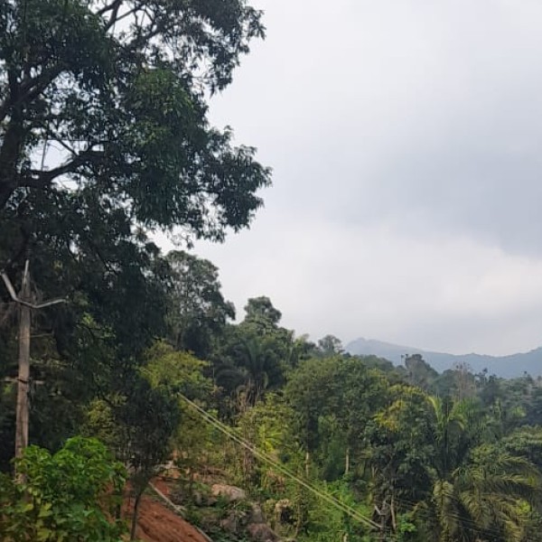
- Topography: Mostly hilly and mountainous with scenic valleys and rivers
- Major Rivers: Tizu, Lanye, and Sekruzu
- Altitude: Average elevation ranges from 1,000 to 2,000 meters
- Climate:
- Subtropical to temperate
- Summer: Mild (May–July)
- Winter: Cold and dry (November–February)
- Rainfall: Heavy during monsoon (June–September)
Economy & Agriculture
- Main Occupation: Agriculture (shifting cultivation and terrace farming)
- Crops Grown:
- Paddy (rice), maize, millet
- Vegetables, oranges, ginger, and cardamom
- Handicrafts & Weaving: Local weaving and bamboo crafts are significant
- Livelihood: Some animal husbandry and fishing along rivers
Transport & Connectivity
- Nearest Major City: Kohima (~145 km by road)
- Road Connectivity: Accessible via NH-29 and other state highways
- Public Transport: Buses and shared taxis available
- Nearest Railway Station: Dimapur (about 200+ km away)
- Nearest Airport: Dimapur Airport (Nagaland’s only commercial airport)
Education & Institutions
- Literacy Rate: Around 78.05% (2011 Census)
- Colleges:
- Phek Government College
- Several higher secondary and mission schools
- Language of Instruction: English (with local dialects used)
Tourism & Places of Interest
- Pfutsero: The highest-altitude town in Nagaland (~2,133 meters)
- Shilloi Lake: A scenic lake near Lutsam village, sacred to locals
- Khezhakeno Village: Historically significant for many Naga tribes
- Phek Town: Cultural and administrative center
- Festivals:
- Sukrunye (Chakhesang tribe)
- Yemshe (Pochury tribe)
- Mostly Christian celebrations like Christmas and Easter also observed
Administration
- District Collector / Deputy Commissioner: Administrative head
- Divisions:
- Several administrative subdivisions and blocks (Pfutsero, Meluri, etc.)
- Phek is also an Assembly constituency in the Nagaland Legislative Assembly.
Notable Facts
- One of the most ethnically diverse districts in Nagaland
- Known for rich oral traditions, folk music, and traditional shawls
- Important in promoting eco-tourism and community-based tourism
- Shares an international boundary with Myanmar