Quick Facts
General Information
- Location: Southeastern part of Nagaland, India
- District Headquarters: Kiphire town
- State: Nagaland
- Area: Approximately 1,130 square kilometers
- Established: 2004 (carved out from Tuensang District)
- Region: Northeast India
- Bordering Areas:
- North: Tuensang District
- West: Zünheboto and Phek Districts
- South: Myanmar (international boundary)
- Coordinates: Approximately 25.87°N latitude and 94.76°E longitude
Demographics
- Population (2011 Census): About 74,033
- Density: Roughly 65 persons per square kilometer
- Major Tribes:
- Yimkhiung Nagas
- Sangtam Nagas
- Sumi Nagas (in certain parts)
- Languages Spoken:
- Yimkhiungrü, Sangtam, Sumi dialects
- English (official)
- Nagamese (widely spoken for communication)
- Religion:
- Predominantly Christian (mostly Baptist)
- Minor populations of Hindus and animists
Geography & Climate
- Topography:
- Extremely hilly and mountainous
- Includes the highest peak in Nagaland — Mount Saramati (3,826 meters above sea level)
- Rivers: Rivers like Tizu, Zungki, and Likimro flow through the district
- Climate:
- Type: Temperate in higher altitudes; subtropical in valleys
- Summer: Pleasant (March to June)
- Monsoon: Heavy rains (June to September)
- Winter: Cold and dry (November to February)
- Temperature Range: 4°C in winter to about 28°C in summer
Economy & Agriculture
- Primary Occupation: Agriculture
- Farming Practices:
- Jhum (shifting cultivation)
- Terrace farming (in a few areas)
- Major Crops:
- Rice, maize, millet
- Potato, yam, ginger
- Handicrafts: Basket weaving, wood carving, and traditional textile weaving
- Livelihood: Livestock rearing, hunting, and minor forest produce collection
Transport & Connectivity
- Roadways:
- Connected via roads to Kohima, Tuensang, and Zünheboto
- Part of the Nagaland State Transport (NST) network
- Nearest Major Towns: Tuensang (~95 km), Kohima (~250 km)
- Nearest Railway Station: Dimapur (~300 km away)
- Nearest Airport: Dimapur Airport
- Challenges: Roads often suffer during the monsoon due to landslides and poor maintenance
Education & Institutions
- Literacy Rate: 69.54% (2011 Census)
- Colleges:
- Zisaji Presidency College, Kiphire
- Schools:
- Government and private-run English medium and vernacular schools
- Educational Challenges:
- Limited access to higher education
- Infrastructure development ongoing
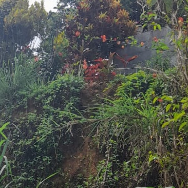
Tourism & Places of Interest
- Mount Saramati:
- Highest peak in Nagaland
- Famous trekking and adventure destination
- Sukhayap Village ("Lover’s Paradise"):
- Known for its stunning natural beauty
- Tetheyu (Salomi) Village:
- Noted for scenic landscapes and trekking trails
- Tizu River:
- Boating, fishing, and eco-tourism opportunities
- Mimi Caves:
- Large and deep caves with local legends
- Fakim Wildlife Sanctuary:
- Dense forest area with rare flora and fauna like leopards, Himalayan bear, and hoolock gibbon
Culture & Festivals
- Tribal Festivals:
- Metümnyo (Yimkhiung Nagas) — Festival for afterlife celebration
- Mongmong (Sangtam Nagas) — Harvest-related festival
- Christmas and New Year: Celebrated with enthusiasm in Christian communities
- Cultural Traits:
- Rich in folk songs, dance, and oral storytelling
- Distinctive traditional attire and colorful ornaments
Administration
- Deputy Commissioner: Administrative head of the district
- Divisions:
- Sub-divided into blocks like Pungro, Kiphire Sadar, and Sitimi
- Village Councils: Important in local governance under the Nagaland Village and Area Councils Act
Notable Features
- Kiphire is considered one of the most remote districts in Nagaland.
- The district plays an important role in border security, being close to Myanmar.
- Known for its untouched landscapes and authentic tribal culture.
- Growing emphasis on eco-tourism and rural tourism development projects.