Detailed factual overview:
Location & Geography
- Location: Baghmara is a town in the South Garo Hills district of Meghalaya.
- Coordinates: Approximately 25.23° N latitude, 90.57° E longitude.
- Elevation: Around 100 meters (328 feet) above sea level.
- Geography:
- Lies along the Bangladesh border, separated by the Simsang River.
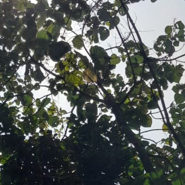
- Surrounded by hills, rivers, and dense forests—a scenic, tropical landscape.
- Proximity:
- About 450 km from Shillong.
- Around 120 km from Tura, another major town in Garo Hills.
- Gasuapara is the nearest border trade point with Bangladesh.
Administrative Importance
- District Headquarters: Baghmara is the administrative center of the South Garo Hills district.
- Governance: Administered by the Baghmara Municipal Board.
- Named after: The town’s name is believed to derive from the Garo words for “tiger killed” – legend has it that a man killed a tiger barehanded here.
Climate
- Climate Type: Humid subtropical (Cwa).
- Rainfall: Receives heavy rainfall, especially during the monsoon (May to October).
- Temperature Range:
- Summer: 24°C – 34°C.
- Winter: 10°C – 25°C.
- Humidity: High year-round due to forested surroundings and proximity to rivers.
People and Culture
- Ethnic Group: Dominated by the Garo tribe (A·chik people).
- Languages:
- Garo (A·chik) – widely spoken.
- English – official and used in education.
- Hindi and Bengali are also spoken by some, especially near the Bangladesh border.
- Religion: Majority are Christians (mainly Baptists and Catholics), with traditional animist roots still present in some cultural practices.
- Traditions & Lifestyle:
- Matrilineal society (inheritance through the mother).
- Rich in folklore, songs, and dances like Wangala.
- Skilled in bamboo and cane crafts, basket weaving, and traditional music.
Flora, Fauna & Nature
- Baghmara Reserve Forest: Located just outside the town.
- Home to elephants, langurs, hornbills, deer, and a variety of orchids and butterflies.
- Simsang River: One of the major rivers in Garo Hills, flows through Baghmara and into Bangladesh.
- Nearby Natural Attractions:
- Siju Cave (Dobakkol): One of the longest limestone caves in India with stalagmites and bats.
- Siju Bird Sanctuary: Known for migratory and rare birds.
- Pitcher Plant Sanctuary: Near Baghmara—showcases Nepenthes khasiana, a rare carnivorous plant native to Meghalaya.
- Balphakram National Park: Located nearby; a biodiversity hotspot and sacred site for Garos. Known as the "Land of Spirits."
Tourism Highlights
- Baghmara is a growing eco-tourism hub, attracting nature lovers, spelunkers (cave explorers), and adventure seekers.
- Popular Tourist Spots:
- Siju Cave
- Simsang River boating
- Pitcher Plant Sanctuary
- Balphakram National Park
- Baghmara Reserve Forest
Education
- Educational institutions include:
- Baghmara Government Higher Secondary School
- Captain Williamson Memorial College – named after Captain Williamson A. Sangma, the first Chief Minister of Meghalaya.
- Schools follow the Meghalaya Board of School Education (MBOSE) or CBSE curriculum.
- English is the medium of instruction in most institutions.
Connectivity & Transport
- Road Connectivity:
- Connected by road to Tura, Williamnagar, and Shillong via NH-62.
- Shared taxis and buses are the main transport modes.
- Nearest Airport:
- Tura Airport (non-operational).
- Nearest functional airport is in Guwahati, Assam (Lokpriya Gopinath Bordoloi International Airport), about 350–400 km away.
- Rail: No railway station in Baghmara. Nearest major station is Guwahati or Goalpara (Assam).
Interesting Facts
- The town is located just across from Bangladesh, making it a potential hub for cross-border trade.
- Pitcher Plant (Nepenthes khasiana), found near Baghmara, is endemic to Meghalaya and highly protected.
- Simsang River Festival is celebrated to promote local culture, tourism, and eco-adventures.
- The Garo Hills region, including Baghmara, is part of the Eastern Himalayan global biodiversity hotspot.