About WelcomeTravelerIndia.com
India is a land of extraordinary contrasts, where ancient traditions meet modern innovation, and natural wonders coexist with vibrant cities.
India is a land of extraordinary contrasts, where ancient traditions meet modern innovation, and natural wonders coexist with vibrant cities.
Meghalaya, meaning "The Abode of Clouds," is a beautiful hill state in Northeast India, known for its rolling green hills, highest rainfall, and breathtaking landscapes.
Where is Meghalaya Located?
✅ Region: Northeast India
✅ Borders:
Key Geographic Features of Meghalaya
✅ Khasi Hills – Home to Shillong, Cherrapunji & Living Root Bridges.
✅ Jaintia Hills – Famous for Dawki, Umngot River & Krang Suri Falls.
✅ Garo Hills – Known for Nokrek Biosphere Reserve, Balpakram National Park & Wangala Festival.
✅ Cherrapunji & Mawsynram – Among the wettest places on Earth.
✅ Umiam Lake & Laitlum Canyon – Scenic valleys & adventure spots.
Climate of Meghalaya – What to Expect?
Meghalaya experiences a temperate and subtropical climate, with cool summers, heavy monsoons & chilly winters.
|
Season |
Months |
Temperature |
Weather |
Best Activities |
|
Summer |
March - May |
15°C – 25°C |
Pleasant & Cool |
Trekking, Sightseeing, Waterfalls |
|
Monsoon |
June - September |
12°C – 22°C |
Heavy Rainfall |
Waterfalls at Full Glory |
|
Winter |
October - February |
5°C – 18°C |
Cold & Misty |
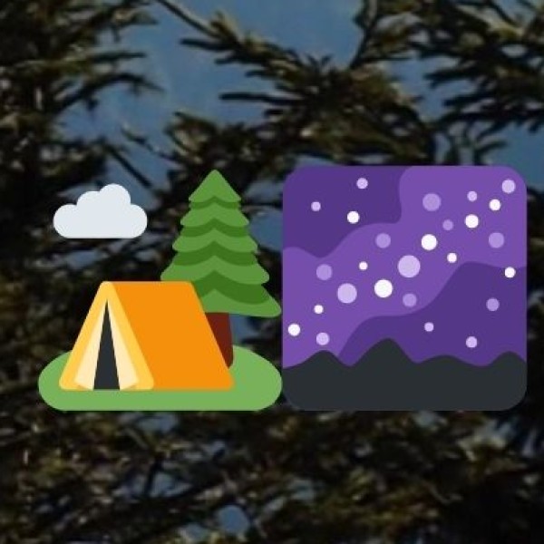
Trekking, Festivals, Camping |
Mawsynram & Cherrapunji receive the highest rainfall in the world (12,000mm annually)!