About WelcomeTravelerIndia.com
India is a land of extraordinary contrasts, where ancient traditions meet modern innovation, and natural wonders coexist with vibrant cities.
India is a land of extraordinary contrasts, where ancient traditions meet modern innovation, and natural wonders coexist with vibrant cities.
Where is Sikkim Located?
Sikkim is a small but spectacular state in Northeast India, nestled in the eastern Himalayas. It shares international borders with Tibet (China) to the north, Bhutan to the east, and Nepal to the west, while West Bengal borders it in the south.
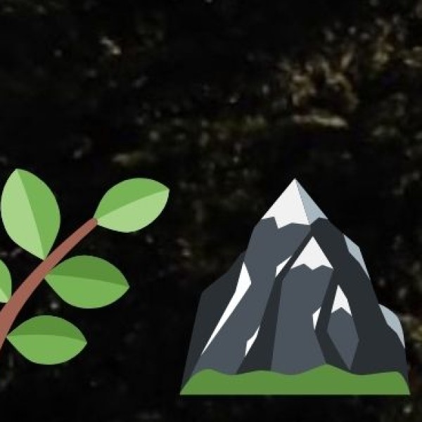
Sikkim’s diverse topography includes snow-capped mountains, lush green valleys, alpine meadows, dense forests, glacial lakes, and rivers, making it one of India’s most picturesque destinations.
Climate of Sikkim
Sikkim experiences diverse climatic conditions due to its varying altitude, ranging from subtropical in the lower regions to alpine in the high-altitude areas.
|
Season |
Months |
Weather & Travel Experience |
|
Spring |
March - May |
Pleasant and vibrant with rhododendrons and orchids in full bloom. Ideal for sightseeing and trekking. |
|
Summer (Monsoon in Lower Areas) |
June - September |
Warm and humid in lower altitudes; heavy rains in the monsoon months. Avoid travel during peak monsoon due to landslides. |
|
Autumn |
October - November |
Cool and dry with clear skies and stunning mountain views. One of the best seasons for travel. |
|
Winter |
December - February |
Snowfall in high-altitude areas like Yumthang, Lachen, and Nathula. Gangtok remains cold but manageable. Ideal for those who love snowy landscapes and winter adventure. |